
Drone
real-estate photography
Licensed aerial coverage
Show scale + setting
High-resolution files
From £100
Make the listing easier to understand before the first viewing with aerial property photography that shows more than ground-level images can capture. From gardens and access points to views, land, rooflines, and nearby surroundings, our drone property photography helps buyers see the full context of the property. Add aerial coverage to your shoot when the location, exterior, or scale needs to do more of the selling.
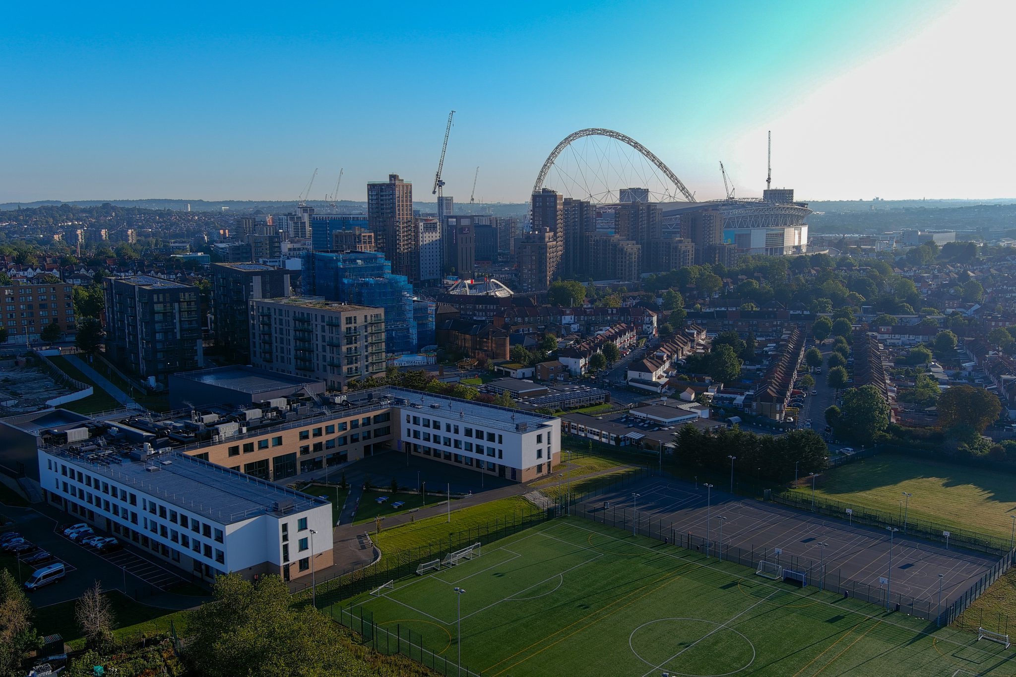
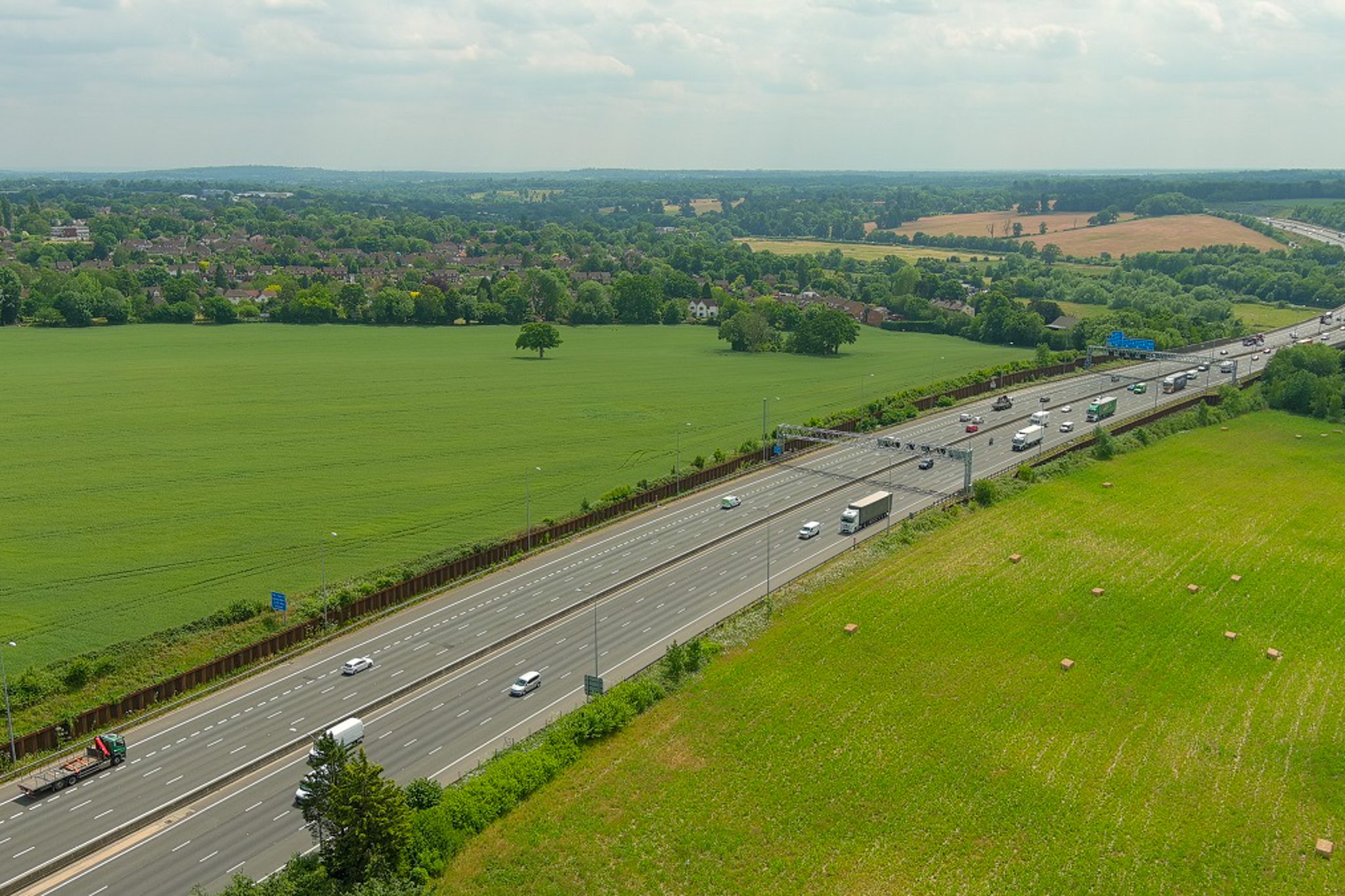
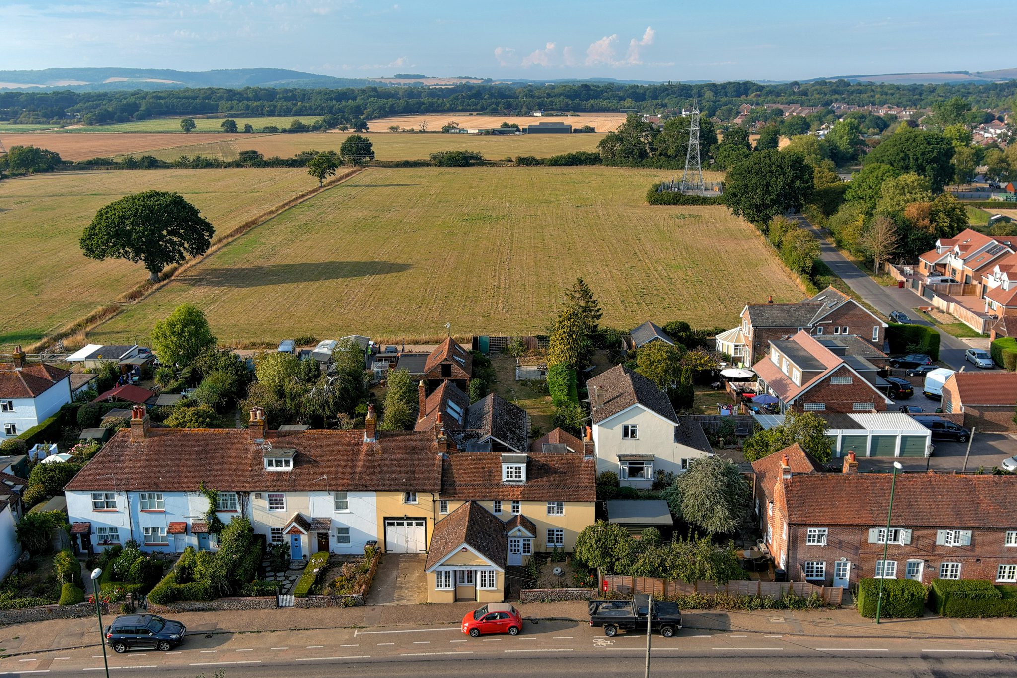
What makes our drone photography different?
Professional drone real estate photography shows the full property: scale, setting, outdoor space, access, and surroundings. Add it when land, views, or exterior impact matter.
Scale buyers understand
Show the building, garden, land, and surrounding space in one clear view, so buyers understand the property faster.
Stronger location context
Use aerial real estate photography to show views, access, nearby features, and the setting around the property.
Licensed flight planning
Drone coverage is handled with compliant planning, insured service, and operators who understand property marketing needs.
Premium listing impact
Add aerial property photos that make the listing feel more complete, higher-value, and ready for stronger online presentation.
Deliverables
Professional aerial property photography from licensed operators
High-resolution stills for listings, brochures, and web use
Ideal for homes, land, developments, gardens, and exterior features
Insured service with compliant flight planning where drone use is suitable
Quick turnaround after the shoot, ready for active property marketing
Aerial angles showing access, plot layout, views, and surrounding context
Edited files prepared for portals, websites, brochures, and social campaigns
Optional drone video clips where movement adds extra listing impact
Our Process
Step by Step
Send location details
Tell us the address, property type, required shots and preferred date. We’ll check whether drone real estate photography suits the property, surroundings and weather conditions.
We capture aerial photos
Our insured and CAA-approved drone operators capture aerial property photography showing scale, gardens, land, rooflines, exterior context and local surroundings where relevant.
Images are selected and edited
Your aerial property photos are reviewed and edited for a sharp, professional finish. If weather makes flying unsuitable, the drone shoot can usually be rescheduled without indoor access.
04
Your final drone images are delivered ready to strengthen the listing, especially for larger homes, penthouses, developments, properties with land and location-led marketing. Book your drone shoot today.
Shoots for estate agents
Use estate agent drone photography to give listings a stronger first impression and show more than room-by-room images. Aerial coverage helps buyers understand plot size, exterior appeal, gardens, access, and location before they arrange a viewing.
Shoots for homeowners and private sellers
Make your home feel more complete online with aerial views that show the full setting, not just the interior. Drone coverage is especially useful for detached homes, large gardens, views, land, and properties where the exterior helps justify the asking price.
Homes with land and developments
Show boundaries, access, scale, and surrounding context clearly with aerial coverage built for larger properties and development sites. This is where drone media adds the most value: it helps viewers understand the opportunity before stepping inside.
Shoots for AirBnB and hospitality listings
Help guests understand the setting before they book. Drone coverage can show outdoor space, nearby surroundings, access, gardens, views, and exterior appeal, giving short-stay and hospitality listings a more polished marketing feel.
Make your property stand out from above
Use drone real estate photography to draw attention to the space buyers might miss from the ground. Our aerial property photography highlights gardens, plots, boundaries, access, scale, and surroundings, so your listing feels clearer, more premium, and easier to judge at first glance. Show the full value of the property before buyers scroll past.
Stronger views from above
Clients already trust Ambershore Pix for detail, reliability and fast delivery. Add drone real estate photography when the listing needs to show scale, setting, gardens, land or exterior impact.
Aida Kidane
James Samson
Nia Abrishami
Want the full property story from above?
Related services
See other services that people book together with drone photorgraphy
Property
photography
- Bright, polished property photography that improves first impressions
- Framed to maximise light, space, and flow
- Clean editing for listing-ready presentation
- Strong visuals for portals, websites, and social content
- Fast turnaround for active property marketing
Floor Plans
- Clear property floor plans that show layout instantly
- Easy to read for buyers, tenants, and agents
- Helps viewers understand flow and room use
- Clean presentation that supports listing quality
- Fast delivery to keep marketing moving
Property marketing video
- Professional property videography that adds movement and atmosphere
- Shows flow, layout, and standout features more naturally
- Helps listings feel more premium and engaging
- Strong for portals, websites, and social media
- Edited for sharper marketing impact
Check drone availability
Show the property from angles ground-level photos cannot cover. We’ll confirm whether drone real estate photography is suitable and help plan the aerial coverage.
Use this for: gardens, land, developments, rooflines, access, views and location-led property marketing.
FAQ
We usually get these questions
Are drone photos worth it for selling or marketing a property?
Drone photography can be valuable when the property benefits from showing scale, land, gardens, exterior context, nearby surroundings or a stronger premium impression. It is especially useful for larger homes, developments, rural properties and listings where location matters.
What types of properties benefit most from drone real estate photography?
Drone real estate photography is most useful for larger houses, penthouses, properties with gardens or land, developments, commercial buildings, coastal or countryside homes, and properties where the surrounding area helps sell the listing.
Can drone photography be combined with interior property photography?
Yes. Drone photography can be combined with interior property photography, floor plans and video so the listing shows both the inside of the property and its wider setting.
What happens if the weather is not suitable for drone photography?
Drone shoots may need to be rescheduled if weather conditions make flying unsafe or would reduce the quality of the final images. When rescheduled because of weather conditions, we would not normally need access to the property again unless another indoor service is also being completed.
Are your drone operators licensed and insured?
Yes. Drone work is carried out by insured and CAA-approved operators, so the shoot can be completed safely, professionally and in line with the relevant drone operating requirements.
Can aerial property photos show gardens, land and local surroundings?
Yes. Aerial property photos are useful for showing gardens, plot size, external features, rooflines, access, surrounding streets and nearby amenities where relevant.